Characteristics of remote sensing technology and its application in hydrology and water resources
Characteristics of remote sensing technology
1.All-weather monitoring
Remote sensing technology is a new type of detection technology developed based on modern science and technology. Its main principle is to use a sensor for sensing, so as to effectively collect various light waves, such as visible light, infrared, ultraviolet, and so on. By collecting these light wave information, the characteristics of objects that cannot be seen by the naked eye can be fully displayed. Using this principle, in the process of detecting hydrological and water resources, the application of remote sensing technology can effectively observe the water level, at the same time, it can effectively expand the water level monitoring data, and significantly improve the accuracy of the water level observation results. In addition, remote sensing technology is applied to monitor hydrological and water resources. Compared with traditional monitoring methods, remote sensing technology has stronger resistance to external interference factors and is not vulnerable to interference and influence of climate, weather, ground vegetation and other factors, thus effectively realizing all-weather monitoring. It can not only obtain more comprehensive hydrological and water resources information, provide important data information for the scientific and rational development and utilization of water resources, but also facilitate researchers to explore and study the law of hydrological change through all-weather monitoring, which is of great practical significance for water resources and socio-economic development and construction.
2.Not easily limited by space
In the traditional hydrological survey work, the hydrological and water resources are mainly surveyed by manual means. The survey and collection of hydrological and water resources information by manual means is easily affected and interfered by external factors, which leads to the failure of the survey work. For example: bad weather, complex and steep terrain, etc. Under the influence of these factors, the traditional manual survey method not only has low efficiency and poor quality, but also greatly increases the risk of the survey work and poses a serious threat to the life safety of the staff. Compared with the traditional hydrological and water resources survey methods, the application of remote sensing technology to hydrological and water resources survey has higher flexibility, and is not easily affected by external factors, and can carry out more comprehensive hydrological and water resources monitoring.
3.Detection efficiency
In the traditional hydrological and water resources survey, the manual survey method not only requires a lot of human resources, but also has a long period and is easily disturbed by external factors. The application of remote sensing technology will not be limited by these factors. In remote sensing technology, the advantage of land satellite is fully utilized to detect the ground surface. The period for a satellite to complete the global coverage imaging is about 16s, while the period of detection can be further reduced by using multi-satellite operation, which not only greatly improves the detection accuracy, but also greatly reduces the detection period, the work efficiency of hydrological and water resources survey has been greatly improved.
4.Wide range of data acquisition
In hydrological and water resources survey, remote sensing technology has more obvious advantages than traditional artificial detection. The application of remote sensing technology in hydrological and water resources survey can achieve a wider range of survey, while the survey accuracy is greatly improved. For many dangerous areas and areas that are difficult to reach by manual means, effective detection can be carried out to effectively obtain more abundant and comprehensive detection data.
Application of remote sensing technology in hydrology and water resources
1.Monitoring precipitation
At present, remote sensing technology, satellite and radar are usually combined to collect the spatial and distribution data of precipitation, and obtain the specific information of local precipitation based on these data. Satellites are usually used to monitor precipitation over a wide range, while radar has a relatively small but more accurate monitoring range. Radar monitors precipitation by monitoring the impact of precipitation particles in the air on electromagnetic waves. However, when the weather is severe, that is, precipitation particles are dense, radar monitoring cannot give accurate precipitation data. Therefore, satellite and radar are usually used for monitoring at the same time.
2.Monitoring surface and soil moisture
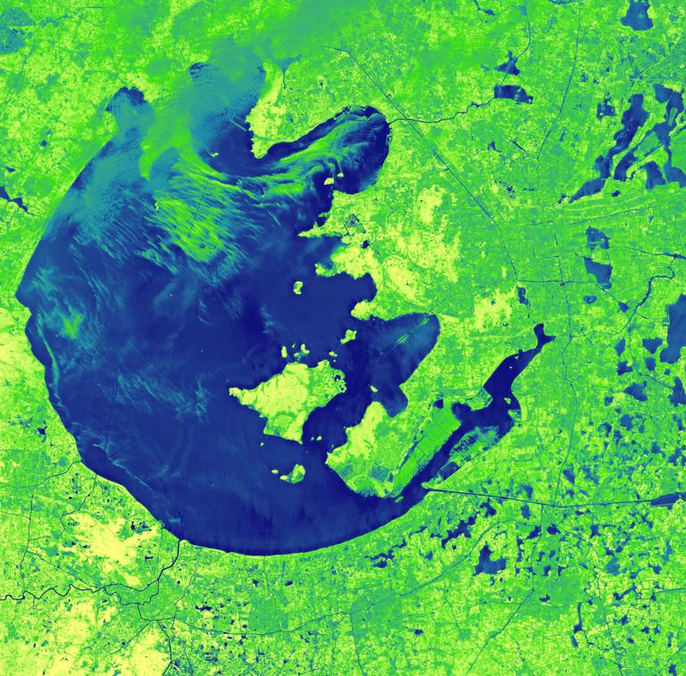
There are many important information on the surface, which will have an impact on the living things and environment on the surface, and are also closely related to people's lives. Therefore, it is particularly necessary to monitor the surface and soil moisture. The greatest advantage of remote sensing technology in monitoring surface information is that it can intuitively display the complex features of the surface, which usually include surface emissivity, surface temperature, etc., while remote sensing technology has important significance in identifying water bodies, improving land utilization and coverage. Soil moisture, also known as soil moisture, is an intermediate element in the exchange of groundwater and surface water. It can be seen that the monitoring of soil moisture is also very necessary.
3.Monitoring evaporation
Evaporation includes the evaporation of water, soil, vegetation and other elements. The performance of evaporation in different environments is different, and the amount of evaporation directly affects the balance of water and energy. Remote sensing technology is an "expert" in monitoring evaporation, including many monitoring methods, and there are various methods to collect data by satellite.
4.Monitoring runoff
The amount of water passing through a certain section of the river in a certain period of time is called runoff. The main link of the water cycle is runoff, which is a basic and important factor for balancing water volume. However, the measurement of runoff is relatively complex. Previously, runoff can only be estimated by establishing hydrological models. With the development of remote sensing technology, the application of remote sensing technology to collect runoff is more convenient, immediate and comprehensive. Therefore, when measuring runoff, remote sensing technology and hydrological model are usually combined to realize runoff monitoring.
5.Disaster prevention
Remote sensing technology can not only collect hydrogeological data, monitor precipitation, evaporation, runoff and surface soil moisture, but also prevent disasters and reduce property losses in case of drought, flood and other extreme weather.
Conclusion
In short, with the rapid development of China's social economy and science and technology in recent years, remote sensing technology has also been constantly updated and improved, and on the basis of existing technologies, it has continuously innovated and developed new technologies, further improving the application scope of remote sensing technology, which not only plays a vital role in hydrological and water resources survey, but also plays a very important role in other areas of survey work, it is of great practical significance for China to build a sustainable social economy.