Research on the current situation and trend of photogrammetry and remote sensing technology
1.Photogrammetry and Remote Sensing Technology
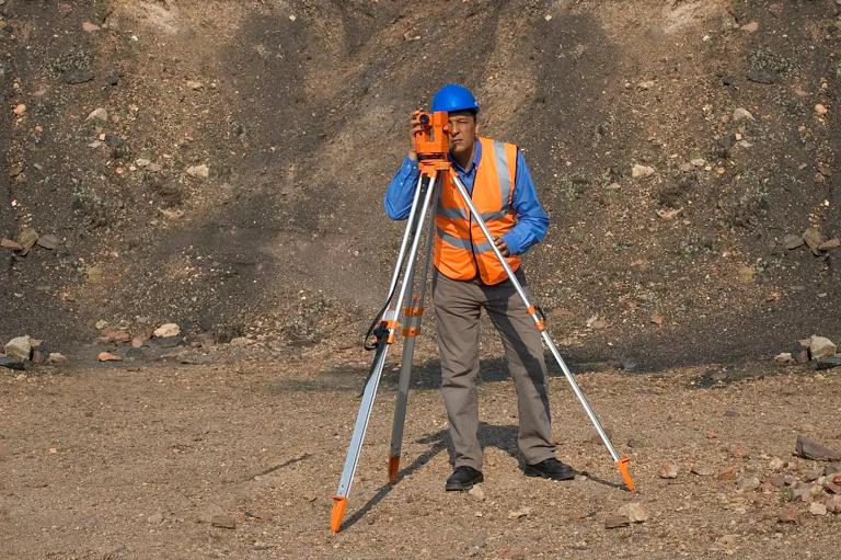
1.1 Photogrammetry
Geometric positioning is to determine the size, shape and spatial position of the subject. The basic principle of geometric positioning is derived from the forward intersection method of surveying. According to the two existing photography stations and two photography direction lines, the specific three-dimensional coordinates of the undetermined ground points constituting the two photography rays are intersected. Photogrammetry, in essence, is a new science that obtains, processes and expresses results through image analysis information. As an important branch of surveying and mapping, it is mainly used to map topographic maps of various scales, establish digital terrain models, and provide perfect data for various geographic information systems and land information systems. The problems to be solved in modern photogrammetry include geometric positioning and image interpretation.
1.2 Remote sensing technology
Remote sensing technology can be divided into three parts: space based system, ground based system and research technology support system. The staff can obtain various data information on the earth surface by using a variety of new remote sensing equipment, and scientifically analyze the information to clearly determine the object. The advantage of remote sensing technology lies in its wide range of search information, high efficiency in obtaining data, reducing the working time of staff, and various ways of obtaining information, which will not be limited by external factors.
2.Development status of photogrammetry and remote sensing technology
2.1 Development status of photogrammetric technology
The current development of photogrammetric technology mainly includes two aspects: 1) UAV low altitude photogrammetry. UAV has realized the intellectualization of photogrammetric technology and is widely used in various fields. For example, in developed countries, the United States, they have invested advanced UAV equipment in research projects such as agriculture, ocean remote sensing and forest fire monitoring. Unmanned aerial vehicles (UAVs) in western developed countries have obvious advantages in automation, requiring no complex operation by ground operators and relatively high input costs. The development of UAV design and measurement technology in China is relatively slow, and it cannot be effectively integrated into high-precision POS; 2) Aerial photogrammetry technology. According to the different photographic orientations, we can divide photogrammetric techniques into three categories, namely, aerial photogrammetric techniques, aerospace photogrammetric techniques and ground photogrammetric techniques. The realization of aerial photography technology must be carried out by space photography, and in-depth exploration and discovery must be carried out strictly from the actual measurement. Space measurement technology requires a larger measurement distance and a higher measurement standard. Photogrammetric workers must master professional skills to reduce the impact of external factors on the effect of photogrammetry.
2.2 Development status of remote sensing technology
With the continuous development of various industries in the society, the requirements for surveying and mapping technology are getting higher and higher. The traditional surveying and mapping technology has been unable to meet the current surveying and mapping work. The application of remote sensing technology can fully improve the quality and efficiency of surveying and mapping work, obtain accurate relevant information and data, and reduce the error of survey data. There are many sensor devices with perfect functions in the market, which can help staff to obtain more mapping information. The innovation and development of remote sensing technology has been highly concerned by various industries and fields. It has strong application characteristics and can be independent of external factors. The application of remote sensing technology does not require much human resources, and can promote the stable and sustainable development of geological mapping. In the current era, relevant research and design personnel should vigorously develop remote sensing technology, constantly improve its accuracy and improve its functions, so as to promote the harmonious and stable development of the entire industry.
3.Development trend of photogrammetry and remote sensing technology
With the passage of time and the innovative development of science and technology, photogrammetry technology has been further developed. One of the development trends of future photogrammetric technology is the increasing diversification of new sensor platforms. In various industries, people can select sensor equipment and corresponding platforms reasonably according to their own needs. At the same time, photogrammetry is also developing towards the direction of parallelization of photogrammetric software platform. In the era environment based on big data, people have a growing demand for effective information data. In order to maximize the satisfaction of users' needs, we must constantly improve the efficiency of data processing. Therefore, the trend of parallel development of promoters has become a foregone conclusion.
The development trend of remote sensing technology focuses on the efficiency of information extraction and analysis. Designers and researchers should strengthen the establishment of sound sensor systems to improve the accuracy of sensors. At the same time, remote sensing technology should effectively combine multi-source remote sensing data, establish a unified fusion model, and integrate various advanced algorithms in the market into sensors to promote the development of remote sensing technology.