Abstract: UAV mapping has high flexibility and security, and is widely used in various industries. In the field of land surveying and mapp...
UAV mapping has high flexibility and security, and is widely used in various industries. In the field of land surveying and mapping, the traditional manual surveying and mapping has gradually turned to UAV surveying and mapping. In recent years, UAV technology has made great development and progress, and the advantages of UAV are also emerging.
Currently, land survey is usually used in areas that cannot be surveyed by air means, such as areas where flight hazards may exist. For the traditional manual surveying and mapping method, there is still a great danger, especially in the dangerous terrain such as canyons and large complex environments. UAV surveying and mapping can effectively solve a series of problems faced by traditional land surveying and mapping work, and also improve the level and efficiency of land surveying and mapping work.
Before the popularity of drone mapping, aerial surveys were often carried out by airplanes and helicopters, and these aerial survey methods also had some advantages in land surveying work. Traditional aerial surveys and drone surveys use the same technology to install the same cameras on different aerial platforms, but the method of obtaining image data is different.
At the same time, traditional aerial mapping methods also have shortcomings. Although flying in the air is safer than ever, there are still some risks. Because the crash may harm the crew on duty. In addition, the cost of manual aerial surveys is relatively high, because the crew needs to have a wealth of professional knowledge and operational experience, they need to fly the aircraft and capture data.
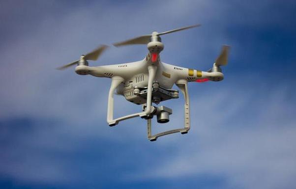
Because the UAV has the characteristics of light weight, fast speed and high flexibility, it solves many problems in land surveying and mapping. Like airplanes and helicopters, drones can also carry cameras for LiDAR or photogrammetry imaging to obtain higher-resolution image data.
In terms of GIS, the system platform is deeply integrated with the needs of the industry, and has been used in simulation, land asset management, industries such as population information management, smart water, smart mines, and smart cities/parks have complete industry solutions.
In terms of UAV aerial survey, he has many years of experience in aerial survey operations in southwest China. Now it has the production capacity of DLG, DOM, DEM, DRG, 3D reality model and airborne lidar full set of data results.